Marilyn · Glen Coe & Lochaber
An Sleaghach
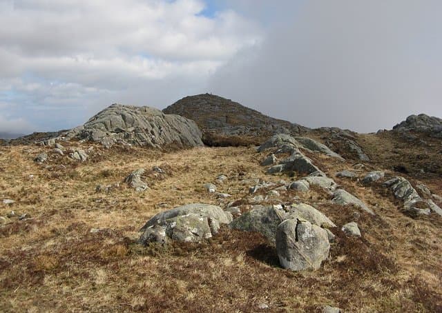
An Sleaghach — the Spear — is a sharply defined 515m hill rising above the south coast of Morvern, its name reflecting the pointed profile seen from the Sound of Mull. The summit ridge is narrow by Morvern standards and the position above the sea makes for an unusual outlook, with the Isle of Lismore prominent below.
Quick facts
- Height
- 515m/ 1690ft
- Prominence
- 310 m
- Grid ref
- NM 76486 43400
- Nearest city
- Oban· 16km
- Dogs
- Dogs on lead required near livestockDog-friendly guide ↗
Height and prominence cross-checked against the Database of British and Irish Hills (CC BY).
No GPX track yet
Walked this route? Share your track to help other walkers.
Standard route
heather and bog 55% · rocky slopes 30% · grass slopes 15%
Park near the road on the A884 east of Lochaline and follow the burn south then climb the steep grassy west ridge. The narrow summit ridge is reached after a stiff pull. Around four hours up and down.
Terrain
Steep grassy slopes interspersed with low rock steps. The narrow summit ridge is short turf with a clear path of sorts. Wet grass on the steeper sections is the main hazard.
In winter
The narrow summit ridge can develop small cornices on its north side in heavy snow. Steep grass below becomes treacherous when frozen — microspikes worthwhile.
This hill is in the Glen Coe SAIS forecast area. Check SAIS forecasts in winter (December–April).
Best time of year
Getting there
- Glasgow4h 59m
- Edinburgh7h 30m
OS maps: OS Landranger 49, OS Explorer 383E, OS Explorer 383W
Mobile signal: Poor. No consistent coverage; EE cuts out away from Fort William.
Current conditions
Daylight Today
- Sunrise
- 05:20
- Sunset
- 21:39
- Civil dawn
- 04:29
- Civil dusk
- 22:29
NOAA Solar Calculator · 30 July 2026
Around An Sleaghach on the SCOT network
Getting there, basing yourself, and what to do off the hill.
Getting there: Oban station
Argyll ferry hub; Mull, Lismore, Coll, Tiree, Barra connections
16km from the hill
tripscot.co.uk
On TripSCOTBase yourself in Oban
Argyll ferry hub — Mull, Lismore, Coll, Tiree, Barra
16km from the hill
tripscot.co.uk
On TasteSCOTAfter the hill: Oban
Oban town centre — tiny two-still distillery bridging Highland and West Coast styles
16km from the hill
tastescot.co.uk
An Sleaghach — common questions
- How difficult is An Sleaghach?
- An Sleaghach carries a 2/5 (moderate) grade on the OutdoorSCOT scale. Terrain: Steep grassy slopes interspersed with low rock steps.
- How prominent is An Sleaghach?
- An Sleaghach has 310m of topographic prominence — the height of its summit above the highest col connecting it to higher ground. Marilyns are defined by that measure: at least 150m of drop on all sides.
- When should I climb An Sleaghach?
- The standard good-weather months for An Sleaghach are March, April, May, June, July, August, September, October. Outside those months, expect winter conditions on the high ground — full mountain kit, navigation skills, and a check of the SAIS avalanche forecast for the relevant region.
- Can I bring my dog up An Sleaghach?
- On a lead only — the route crosses ground with livestock or nesting-bird interest.
- What's mobile reception like on An Sleaghach?
- Poor. No consistent coverage; EE cuts out away from Fort William.
- Is An Sleaghach safe in winter?
- The narrow summit ridge can develop small cornices on its north side in heavy snow. Steep grass below becomes treacherous when frozen — microspikes worthwhile.
Get the OutdoorSCOT weekly
One email a week — new route, hill and bothy guides, seasonal conditions and the odd hard-won lesson. No spam, unsubscribe in one click.