Long distance
River Ayr Way
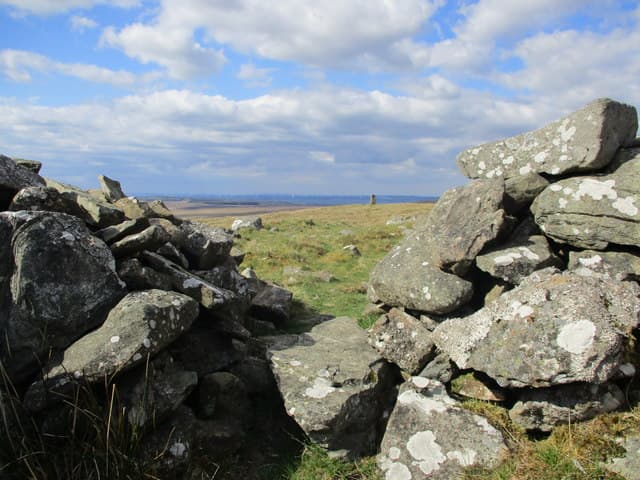
Follows the River Ayr from its source in the Ayrshire uplands to the coast at Ayr. A gentle riverside walk through farming country and Ayrshire towns. 3 days, 66 km (41 mi), 500 m of cumulative ascent; a waymarked route best tackled best east-to-west — a friendly short trail.
Quick facts
- Distance
- 66 km/ 41 mi
- Typical days
- 3
- Total ascent
- 500 m
- Difficulty
- easy
- Start → Finish
- Glenbuck → Ayr
- Best direction
- East to West
- Water sources
- Glenbuck, Sorn, Mauchline, Failford, Annbank, Ayr — all the named villages along the river have taps and shops. The riverside path is continuously near settlements; never more than 4km from a fill point. The River Ayr is too silty raw — treat.
- Mobile signal
- EE/Vodafone reliable throughout. The river corridor runs parallel to the A70 / A76 for most of its length, so signal is continuous. The Glenbuck moor at the start drops briefly; coverage recovers at Muirkirk.
✔ Waymarked throughout
Approximate profile derived from per-stage ascent — accurate on total climb and pattern, not a pixel-precise GPX trace.
Our take
The River Ayr Way is a straightforward downstream walk — start high in the moorland at Glenbuck and follow the river to the sea. The terrain is easy, the navigation is simple, and the route passes through several Ayrshire towns. Mauchline has Burns connections. The approach to Ayr past the racecourse is anticlimactic, but the coastal finish redeems it.
Highlights
- Glenbuck — birthplace of Bill Shankly
- Muirkirk moors
- Mauchline and Burns connections
- Ayr town and seafront
Day-by-day itinerary
A suggested 3-day schedule. Adjust to your fitness and conditions.
1Glenbuck to Muirkirk16km · 150m ascent
From the source of the River Ayr at Glenbuck — birthplace of Bill Shankly — downstream through open moorland to the small town of Muirkirk.
- Terrain
- Moorland paths, riverside tracks, some road walking.
- Overnight
- Muirkirk has B&Bs and a pub. Limited but adequate.
- Stats
- Glenbuck → Muirkirk · 16km · ↑150m
2Muirkirk to Mauchline24km · 200m ascent
Along the River Ayr through Sorn village and its castle to Mauchline, a town steeped in Robert Burns connections. Poosie Nansie's pub is still open.
- Terrain
- Riverside paths, farm tracks, quiet lanes. Gentle gradients.
- Overnight
- Mauchline has B&Bs and the Loudoun Arms. Burns House Museum is worth a visit.
- Stats
- Muirkirk → Mauchline · 24km · ↑200m
3Mauchline to Ayr26km · 150m ascent
The final stretch follows the Ayr through Stair and Annbank to the coast at Ayr. The riverside walking becomes more pastoral before the town finish.
- Terrain
- Riverside paths, farm tracks, town walking. Flat.
- Overnight
- Ayr has ample hotels, B&Bs and restaurants. The seafront is a pleasant finish.
- Stats
- Mauchline → Ayr · 26km · ↑150m
Transport
To start (Glenbuck)
Bus · Stagecoach West Scotland
Service 42 / X42 (Ayr–Muirkirk)
Glenbuck itself is ~3 miles east of Muirkirk and has no direct bus.
Check times & book →
From finish (Ayr)
Best months
Accommodation
Hotels and B&Bs at Muirkirk, Mauchline, Stair and Ayr. Well-served for a short route. B&Bs and small hotels at Muirkirk, Sorn, Mauchline and Ayr; section-walking via local buses is straightforward from Glasgow. Wild camping along the river is generally accepted.
Night-by-night guide: where to stay →Resupply
Shops at Muirkirk, Mauchline and Ayr. No remote sections. Co-op or local shops at Muirkirk, Sorn, Mauchline and Ayr; never more than 15km from resupply and cafes line the route. Carry lunch on the moorland opening day.
Connect with
Chain into a longer expedition by combining with adjacent long-distance routes.
Current conditions
Weather at the start point (Glenbuck)
Daylight Today
- Sunrise
- 05:17
- Sunset
- 21:27
- Civil dawn
- 04:29
- Civil dusk
- 22:15
NOAA Solar Calculator · 30 July 2026
Share your experience
Walked the River Ayr Way? Help others plan their trip.
Getting to and from the River Ayr Way
Train and town anchors at each end of the route — on TripSCOT.