Marilyn · Galloway
Hods Hill
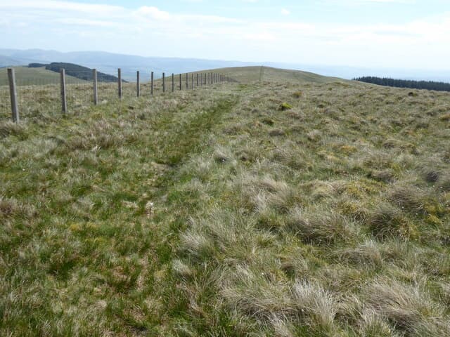
Hods Hill stands at 569m on the NT/NS watershed near Crawfordjohn, a rounded South Lanarkshire summit overlooking the upper Clyde basin. Its sweep of moorland makes for a quiet outing far from the better-known Lowthers to the east.
Quick facts
- Height
- 569m/ 1867ft
- Prominence
- 173 m
- Grid ref
- NT 00075 09907
- Nearest city
- Dumfries· 34km
- Dogs
- Dogs on lead required near livestockDog-friendly guide ↗
Height and prominence cross-checked against the Database of British and Irish Hills (CC BY).
No GPX track yet
Walked this route? Share your track to help other walkers.
Standard route
heather moorland 60% · grass slopes 30% · rocky summit 10%
From the back roads at Crawfordjohn or the wind-farm tracks to the south, follow rising moorland onto the broad ridge and along to the summit cairn. Three hours covers a round; bearing skills help on the featureless top in mist.
Terrain
Heather and bog-cotton cover the upper slopes with occasional peat hags around the watershed. Wind-farm service roads ease the lower approach.
In winter
Bitter winds funnel through this gap between the Lowthers and the Clyde hills. Hard frost firms the bogs but black ice on the access tracks is the bigger hazard.
Best time of year
Getting there
- Glasgow2h 8m
- Edinburgh2h 48m
OS maps: OS Landranger 78, OS Explorer 330
Mobile signal: Good. South Lanarkshire; EE gives reasonable coverage. Vodafone also works here.
Current conditions
Daylight Today
- Sunrise
- 05:17
- Sunset
- 21:24
- Civil dawn
- 04:29
- Civil dusk
- 22:12
NOAA Solar Calculator · 30 July 2026
Hods Hill — common questions
- How difficult is Hods Hill?
- Hods Hill carries a 2/5 (moderate) grade on the OutdoorSCOT scale. Terrain: Heather and bog-cotton cover the upper slopes with occasional peat hags around the watershed.
- How prominent is Hods Hill?
- Hods Hill has 173m of topographic prominence — the height of its summit above the highest col connecting it to higher ground. Marilyns are defined by that measure: at least 150m of drop on all sides.
- When should I climb Hods Hill?
- The standard good-weather months for Hods Hill are March, April, May, June, July, August, September, October. Outside those months, expect winter conditions on the high ground — full mountain kit, navigation skills, and a check of the SAIS avalanche forecast for the relevant region.
- Can I bring my dog up Hods Hill?
- On a lead only — the route crosses ground with livestock or nesting-bird interest.
- What's mobile reception like on Hods Hill?
- Good. South Lanarkshire; EE gives reasonable coverage. Vodafone also works here.
- Is Hods Hill safe in winter?
- Bitter winds funnel through this gap between the Lowthers and the Clyde hills. Hard frost firms the bogs but black ice on the access tracks is the bigger hazard.
Get the OutdoorSCOT weekly
One email a week — new route, hill and bothy guides, seasonal conditions and the odd hard-won lesson. No spam, unsubscribe in one click.