Marilyn · North-West Highlands
Cnoc na Maoile
Cnoc na Maoile — "knoll of the bare patch" — stands at 401m in the ND00 grid square inland from Helmsdale, a low hill at the edge of the Caithness Flow Country.
Quick facts
- Height
- 401.1m/ 1316ft
- Prominence
- 153 m
- Grid ref
- ND 00791 21206
- Nearest city
- Inverness· 83km
- Dogs
- Dogs on lead required near livestockDog-friendly guide ↗
Height and prominence cross-checked against the Database of British and Irish Hills (CC BY).
No GPX track yet
Walked this route? Share your track to help other walkers.
Standard route
heather and bog 65% · grass slopes 25% · rocky summit 10%
Begin on the small road up the Helmsdale river from Kildonan, cross the Suisgill Burn and climb the heather slopes to the bare summit. Around 4 hours.
Terrain
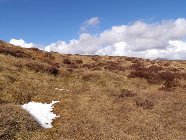
A few short reaches of stalkers path help on the lower hill. The summit area is notably stony with a bare windscoured patch that gives the hill its name.
In winter
Low enough that snow seldom holds for long but the Helmsdale road can become single-lane with drifted snow. Carry a shovel in winter.
Best time of year
Getting there
- Glasgow6h 9m
- Edinburgh6h 53m
OS maps: OS Landranger 17, OS Explorer 444E
Mobile signal: Poor. No coverage at summit or on descent. Download maps offline before visiting.
Current conditions
Daylight Today
- Sunrise
- 06:42
- Sunset
- 19:39
- Civil dawn
- 06:01
- Civil dusk
- 20:20
NOAA Solar Calculator · 14 September 2026
Around Cnoc na Maoile on the SCOT network
Getting there, basing yourself, and what to do off the hill.
Cnoc na Maoile — common questions
- Is Cnoc na Maoile a hard climb?
- Cnoc na Maoile is rated 1/5 (easy) on the OutdoorSCOT scale. Terrain: A few short reaches of stalkers path help on the lower hill.
- How prominent is Cnoc na Maoile?
- Cnoc na Maoile has 153m of topographic prominence — the height of its summit above the highest col connecting it to higher ground. Marilyns are defined by that measure: at least 150m of drop on all sides.
- When should I climb Cnoc na Maoile?
- The standard good-weather months for Cnoc na Maoile are March, April, May, June, July, August, September, October. Outside those months, expect winter conditions on the high ground — full mountain kit, navigation skills, and a check of the SAIS avalanche forecast for the relevant region.
- Can I bring my dog up Cnoc na Maoile?
- On a lead only — the route crosses ground with livestock or nesting-bird interest.
- What's mobile reception like on Cnoc na Maoile?
- Poor. No coverage at summit or on descent. Download maps offline before visiting.
- Is Cnoc na Maoile safe in winter?
- Low enough that snow seldom holds for long but the Helmsdale road can become single-lane with drifted snow. Carry a shovel in winter.
Get the OutdoorSCOT weekly
One email a week — new route, hill and bothy guides, seasonal conditions and the odd hard-won lesson. No spam, unsubscribe in one click.